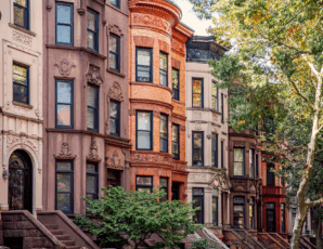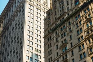
On average, New Yorkers walk more miles per day — and walk them faster—than anyone else in the country. We can’t help it. We’ve got long streets (which in Manhattan run east-west) and long avenues (which run north-south). But how many NYC blocks are in a mile?
So How Many NYC Blocks Are in a Mile?
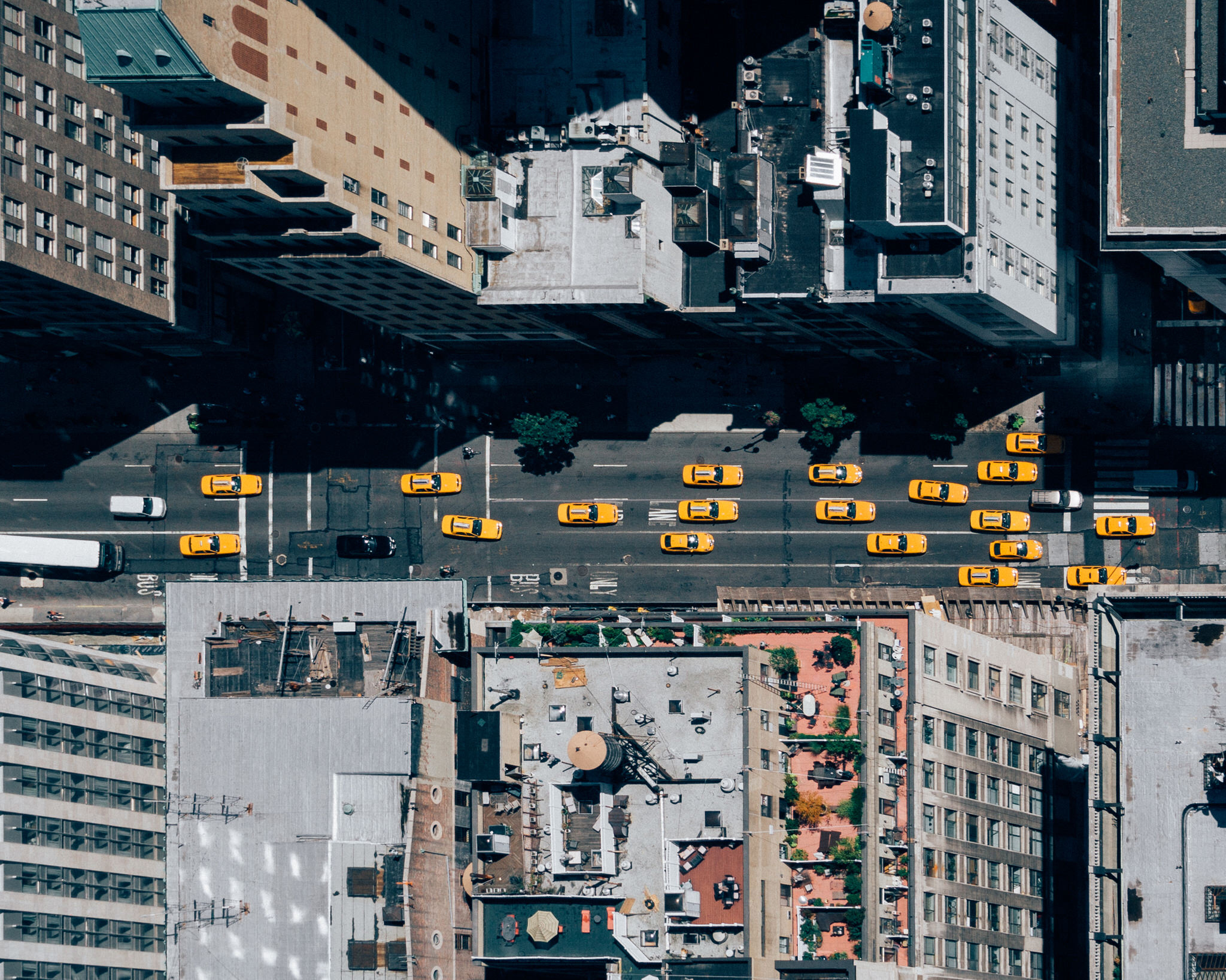
The average length of a north-south block in Manhattan runs approximately 264 feet, which means there are about 20 blocks per mile.
But what about the lengths of the blocks between avenues? Not so reliable. Generally speaking, the distance between avenues is roughly 750 feet, which means about seven east-west blocks per mile. But there’s some serious variance.
If we’re talking about the area stretching from Houston Street to 155th Street, which is the official area of Manhattan’s street grid, then these are your numbers:
The distance between First and Second avenues is 650 feet, while that between Second and Third Avenues is 610 feet. The blocks between Third and Sixth Avenues ratchet up to 920 feet. And finally, block length between Sixth and Twelfth avenues is 800 feet.
How do we account for the variability? Look to the times. When the Commissioners’ Plan of 1811 (more on this later) laid out a proposal for the now-famous gridiron of Manhattan, industry looked quite a bit different. According to the “Encyclopedia of New York City,” blocks along the Hudson and East River waterfronts were built closer together in anticipation of increased development — more opportunities for water-adjacent property. Avenues were designated long and wide to make room for vehicles like the omnibus, or horse-bus — an old-school, horse-drawn form of mass transit.
The Size of Manhattan Blocks Was Determined Back in 1811
It all goes back to the Commissioners’ Plan.
Around 1800, the Common Council of New York — “City Council” these days — surveyed lower Manhattan and decided that its anarchic layout, organically forged through animal paths and the whims of wanderings, could use some regulation. They soon required that any new streets receive approval, and levied fees from property owners to maintain their local streets.
But as NYC grew, competing viewpoints on furthering development logjammed any progress, and the city turned to the state legislature for aid. What it got was a commission imbued with “exclusive power to lay out streets, roads, and public squares… [in a way that seems] most conducive to public good.”
Years of surveying commenced. What the commission landed on was so tried-and-true that the ancient Egyptians had relied on it: the gridiron.
How the NYC Street Grid Came to Be
The rectangular grid may not be sexy, but it sure works. The plan — the Commissioners’ Plan of 1811, that is — was simple:
Straight streets and avenues should intersect at right angles. There were to be 12 north-south avenues, and as many numbered cross streets as needed. The grid would be tilted 29 degrees east of true north, to account for Manhattan’s angling.
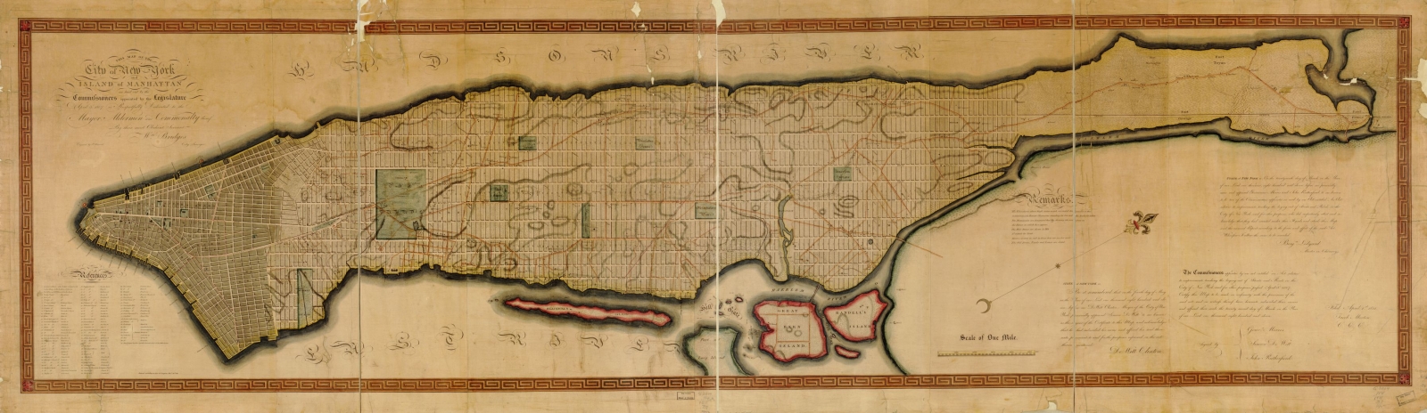
Map of the Commissioners’ Plan of 1811. (Click to enlarge.)
Unlike the east-west numbered streets, which run 60 feet wide, certain crosstown streets were given increased width to serve as thoroughfares. Their numbers won’t be surprising: 14th, 23rd, 34th, 42nd, 57th, 72nd, 79th, 86th, 96th, 106th, 116th, 125th, 135th, 145th, and 155th streets are each 100 feet wide. (Nowadays, 106th, 110th, and 116th streets run 100 feet wide in some places and 60 feet in others.)
To actually build the grid, 1,549 marble markers were placed at each intersection. And though the process faced vandalism by disgruntled property owners, constant legal bickering, and environmental obstacles, the city got built. It took 60 years for the grid to reach 155th Street, but it finally did.
The Longest and Shortest NYC Blocks
As for the longest NYC block? Take your pick, as long as it’s between Fifth and Sixth avenues, where block length runs up to 920 feet.
And the shortest? It’s a toss-up: Edgar Street between Trinity Place and Greenwich Street, around the corner from the New York Stock Exchange, is 64 feet long. About as short is Mill Lane between South William Street and Stone Street, east of Bowling Green, which is so short it boasts no addresses.
Is the Manhattan Street Grid Democratic or Ugly?
If there is a kind of beautiful pragmatism to Manhattan’s grid, then that’s the only beautiful thing about it. At least that initially seemed to be the consensus.
Marguerite Holloway, in her biography of John Randel Jr., the grid’s designer, points out that at its inception, the grid was created to illustrate the idea that the “government ought not to act in such a way as to create inequality of special privilege.” The grid is the every-person’s shape. It’s democratic.
The artists disagreed. Walt Whitman said Manhattan’s streets were “the last thing in the world consistent with beauty of situation.” Edith Wharton called it “hidebound in its deadly uniformity of mean ugliness.” Henry James lamented that the plan didn’t capitalize on Manhattan’s natural topography, saying it was “the uncollected labor of minds with no imagination of the future and blind before the opportunity given them by their two magnificent waterfronts.”
Even philosopher Jean-Paul Sartre chimed in: “Amid the numerical anonymity of streets and avenues, I am simply anyone, anywhere, since one place is so like another. I am never astray, but always lost.”
Today, of course, New Yorkers and visitors alike celebrate the grid for being easy to navigate. And some big thinkers did see a worthy aim in its imposition of order. “[The point is] not to make the city into a huge machine and man into an automaton,” wrote French critic and philosopher Roland Barthes, “but to master the distances and orientations by the mind … [so] that each individual should be poetically the owner of the capital of the world.”